 English
 Japan
Japan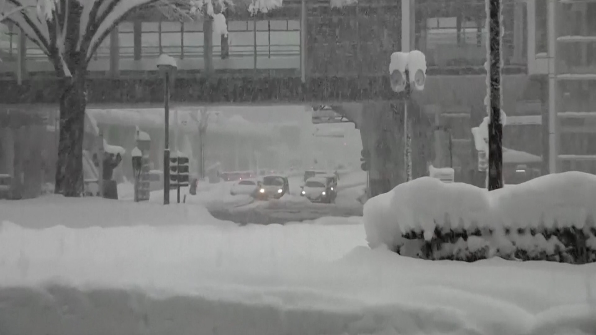
Heavy snowfall forecast for Japan's Kanto region, including Tokyo
Heavy snow is forecast for Japan's Kanto-Koshin region on Friday and Saturday, with accumulation expected even in central Tokyo.
Japan's Meteorological Agency says a cold air mass will flow into the region from Friday through Saturday. At the same time, a developed low-pressure system will move east-northeast along the Pacific coast of Honshu.
The two movements will bring snow to large areas of the Kanto-Koshin region.
The agency says snow will fall in most of the region from shortly after midday on Friday, accumulating even in the plains. Heavy snow is expected in the mountains.
During the 24-hour period through Saturday morning, up to 40 centimeters of snow is forecast for Koshin and northern Kanto, and 10 centimeters for southern Kanto.
Tokyo will see snowfall from early Friday afternoon through the night. Five centimeters will accumulate in the capital's 23 wards by Saturday morning.
During that time, the western area of Tokyo's Tama region can expect 20 centimeters, and the northern and southern parts 10 centimeters.
Snow will continue to fall in the mountains through Saturday, but will gradually turn to rain along the Pacific coast.
The agency says it may issue alerts warning of heavier snowfall if temperatures become colder or the precipitation lasts longer than expected.
The agency is asking people to prepare for possible traffic disruptions caused by heavy snow or icy roads, and for possible snow-related blackouts.
Source: https://www3.nhk.or.jp/nhkworld/en/news/20230209_07/